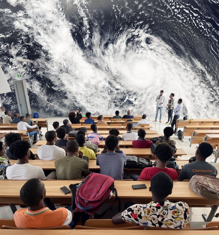
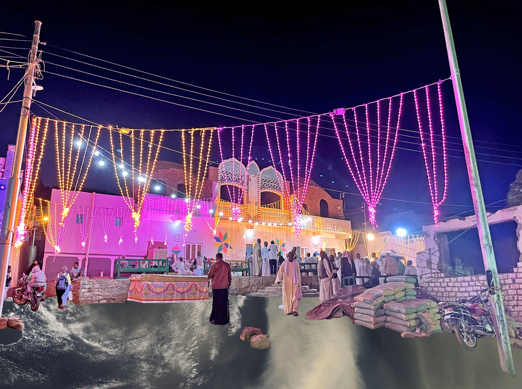
Cape Verdean fishermen risk their lives daily without reliable weather data. Better hurricane preparedness is crucial for current and future generations as climate change accelerates.
These collages combine photos I took in Praia, Cape Verde, with NASA Worldview satellite imagery of Hurricane Fred, which struck the country in 2015 as a category one storm. It explores the urgency of building coastal weather stations for and by the people of Cape Verde.

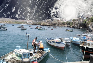

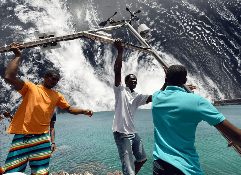
Cabo Verde

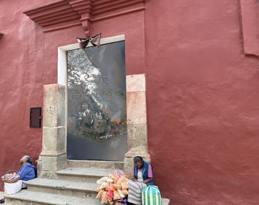
Egypt

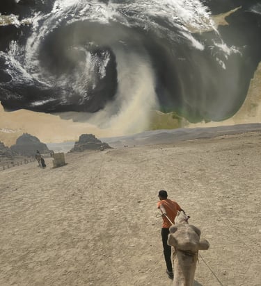

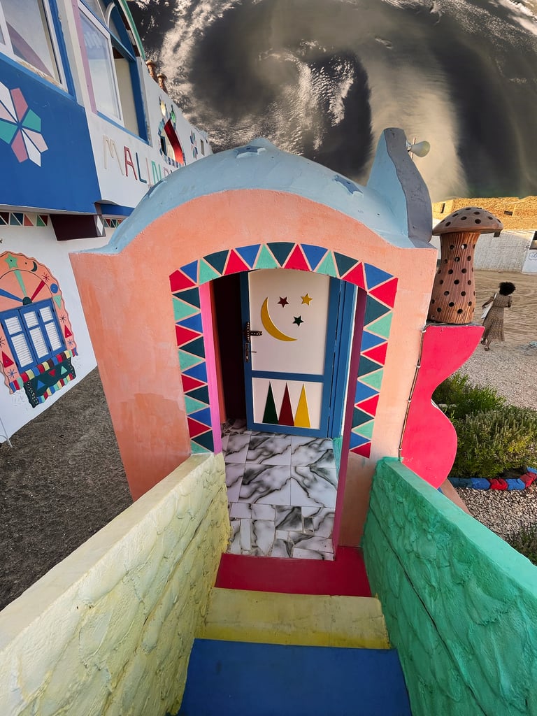

Egypt experiences frequent dust storms, particularly during the spring when strong winds known as the Khamsin blow across the Sahara Desert. These storms can transport massive amounts of dust and sand into the air, covering cities in a haze, disrupting daily life, and causing serious health impacts.
These pieces combine photos I took in Cairo and Aswan, Egypt, with NASA Worldview satellite imagery of a Saharan dust storm sweeping across Egypt out into the Mediterranean Sea. Negative health impacts can be reduced through effective early warning systems that give people time to protect themselves from hazardous air.
Cuba
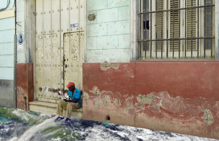


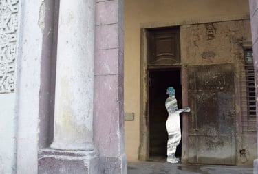
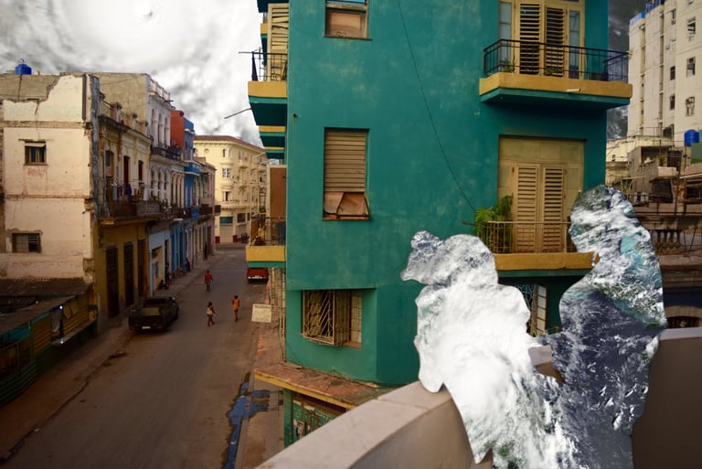

Hurricane Melissa was one of the most powerful hurricanes ever recorded in the Atlantic Basin. Cuba was still rebuilding after the devastation of Hurricane Oscar, which struck in 2024, before Hurricane Melissa brought a new wave of destruction in 2025.
I combine photos I took in Cuba with NASA Worldview satellite imagery of Hurricane Melissa and Oscar, illustrating the compounded devastation and collective trauma shaped by repeated hurricanes.
Mexico


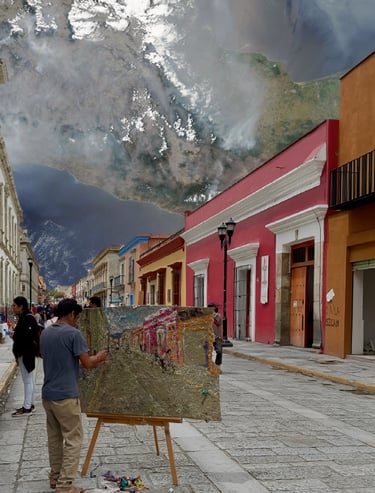

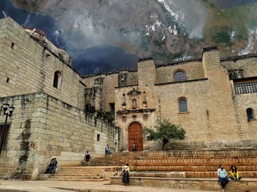
Fires across southern Mexico, particularly in states like Oaxaca and Guerrero, are fueled by agricultural burning, land clearing, prolonged dry seasons, and rising temperatures linked to climate change.
I combine photos I took in Oaxaca, Mexico, with NASA Worldview satellite imagery of fires in southern Mexico, exploring how smoke degrades air quality and affects communities whose livelihoods, traditions, stories, art, and cultural identity are rooted in the land. The orange dots in the first collage mark active fires detected by satellite across southern Mexico. The smoke they produce spreads across the region like a thick, hazy blanket.